
Bailey's Crossroads Previous Residents by Era
No single source names every earlier household at a Bailey's Crossroads address. Deeds establish recorded transfers and parcel identity. Tax maps and imagery help date the site itself. Directory leads can connect a name to an address for a particular edition, while the Historic Records Center and the Library of Virginia supply archival routes when modern online systems end. Start with the era that is known, then move to the source that can carry the parcel or household back one step.
| Source | Years It Covers | Where Held | What It Shows |
|---|---|---|---|
| Fairfax land records | 1742-present surviving series | Fairfax Circuit Land Records, CPAN, and research-room terminals | Recorded transfers, parties, legal descriptions, and deed references |
| Historic Records Center maps and tax material | 1760 into the early 1900s, by collection | Fairfax Circuit Historic Records Center | Property-owner and tax-map clues, vertical files, and reconstructed 1890 census material |
| County directory leads | 1887-88, 1906, 1942, and 1980-2020 | Regional library and history collections | Dated name-and-address clues when the title covers the locality |
| Historical imagery and map books | Imagery back to 1937; map books from 1960 | Fairfax GIS viewers | Site, street-alignment, and parcel-configuration context |
For a Bailey's Crossroads address, use iCare and GIS to identify the PIN, location, tax year, subdivision, and deed references. The tax mailing address is not proof that an owner lives there, and a deed party is not proof of continuous occupancy. Keep those roles separate when tracing an earlier household.
Bailey's Crossroads Address Records Starting Point
Fairfax County's Master Address Repository, or MAR, is the address authority for current Bailey's Crossroads addressing. Search an address with its number, suffix, street name, street type, unit, city, state, and ZIP preserved separately. If a result fails, try the street name without its suffix or use an abbreviated and full street type. MAR's effective, expiration, and change-date fields can help explain why an older source uses a different form.
Open the linked Bailey's Crossroads parcel in iCare or Jade and save the PIN, tax-map reference, subdivision, plan area, zoning, and deed-book or sales references shown. The Fairfax iCare property search is a current assessment route, while Jade and MAR provide map and address context. The legal description, acreage, plat, and recorded reference are the details that can bridge an old street number to the predecessor parcel in Bailey's Crossroads.
Note: A Falls Church mailing label can still describe a Fairfax County parcel, so verify jurisdiction before choosing a custodian.
Fairfax Deed Records Backward
For a Bailey's Crossroads deed chain, Fairfax land records begin in 1742, although the surviving record set is not continuous. The Circuit Court Land Records research room at 4110 Chain Bridge Road, Suite 317 has public terminals. CPAN is the subscriber internet route. A free terminal in the research room is a separate in-person option, and the clerk can provide copies when a requester supplies an instrument number or deed book and page. Preserve the recording date and both party names at every link in a Bailey's Crossroads chain.
- Use the current parcel record to copy the PIN and legal description, not just the street address.
- Find the current owner's acquisition in the grantee index and note the deed book or instrument reference.
- Read the deed for its seller, parcel description, acreage, plat, and any reference to the same parcel.
- Search that seller as a grantee to locate the seller's own acquisition, then repeat the sequence backward.
- When a period is not available online, use the Circuit terminals, Historic Records Center, Library of Virginia microfilm, or a clerk copy request.
- Grantor
- The party transferring an interest in the recorded instrument.
- Grantee
- The party receiving that interest in the recorded instrument.
- Chain of title
- The sequence of recorded transfers used to connect one owner or parcel interest to an earlier one.
- Legal description
- The recorded land description, such as a plat, lot, acreage, or metes-and-bounds description. It is more stable than an old street number.
Certified copies cost $2 per document plus $0.50 per page. The clerk accepts mail and in-person requests, does not accept personal checks, and says mailed requests take about two weeks. Call Land Records at 703-691-7320, option 3 then 3, to confirm instructions for a Bailey's Crossroads copy request.
Bailey's Crossroads Address Records on Maps
Bailey's Crossroads maps do not name an occupant, but they can prevent a false match. Fairfax Jade has more than 170 layers, detailed property reports, historical imagery, and save, share, and print tools. The Historical Imagery Viewer reaches back to 1937. The Digital Map Viewer provides annual property map books beginning in 1960, with 444 tax-map tiles available as PDFs. Use a dated image or map tile to show when a Bailey's Crossroads structure, road alignment, or parcel configuration existed.
Fairfax County's Digital Map Viewer is shown in this Bailey's Crossroads previous residents image.
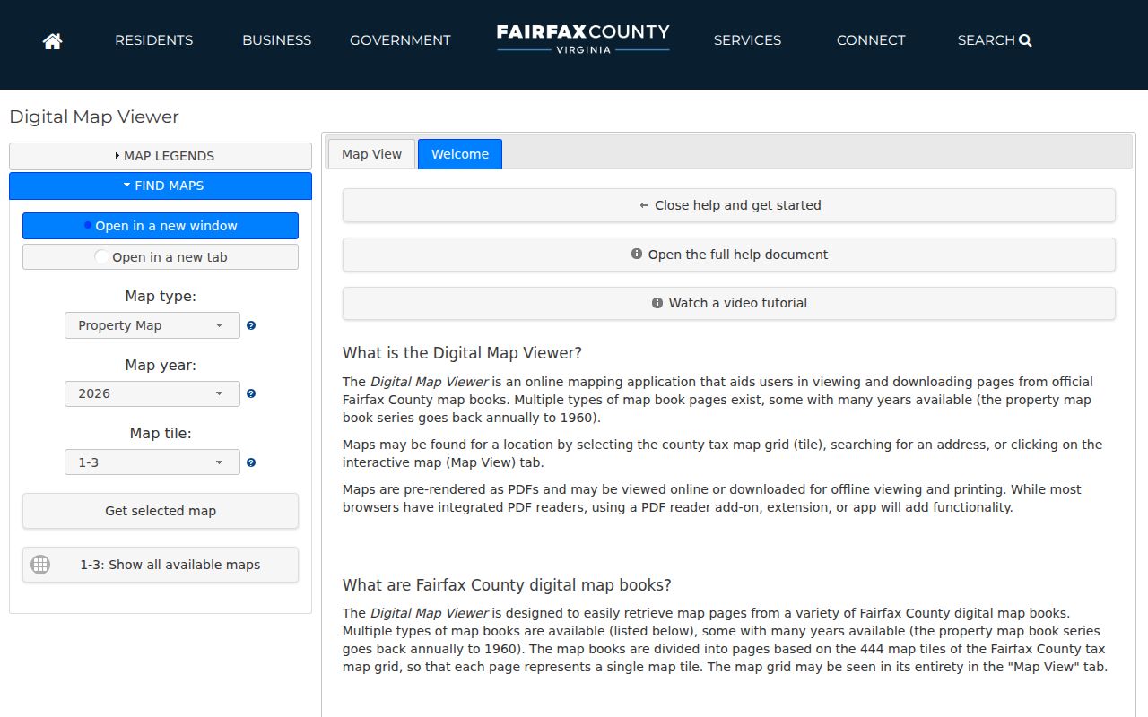
Its dated tax-map PDFs can be paired with the PIN and legal description before a search moves from a modern parcel to a historic deed or directory reference.
GIS is a display layer and DTA remains the authority for property data. Bailey's Crossroads parcel lines can vary in accuracy, and recorded easements are official only in land records. That difference is important when a house history reaches a replat, road change, or parcel split.
Bailey's Crossroads Record Gaps at Old Addresses
Fairfax County formed in 1742 from Prince William County. The Library of Virginia warns that original wills, deeds, and loose papers were destroyed during the Civil War, and that many deed books from 1763 through 1819 and prewar minute books are missing. A county land-record date range is not the same as an unbroken series. When an early Bailey's Crossroads owner or household disappears from the trail, write down the missing-book possibility instead of treating a blank index result as proof of absence.
The Fairfax Circuit Historic Records Center appears in this Bailey's Crossroads previous residents image.
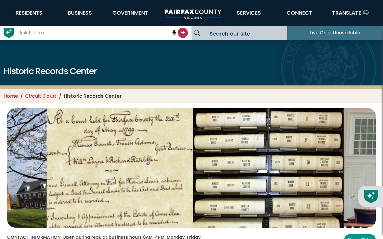
For Bailey's Crossroads before the early twentieth century, the center offers indexes and archival material, including a 1760 property-owner booklet and map, an 1860 tax map and key, cemetery-survey material, vertical files, and a reconstructed 1890 census.
The Library of Virginia collection also lists surviving deed volumes, wills, vital indexes, military records, poll and secession records, and road records. Bailey's Crossroads researchers should search catalogs by exact record group and year, then confirm whether the material is online, at a library center, or available only in person.
Culmore Dates for Bailey's Crossroads Past Residents
Culmore's documented development dates can frame a Bailey's Crossroads prior-address search without standing in for person-level proof. John N. Campbell purchased 118 acres in 1945. The Culmore shopping center opened in 1951, Bailey's Elementary opened in 1952, and storefront library service operated from 1961 to 1966 before a permanent library building opened in 1967. Pair a known directory or deed date with this chronology, then test it against the parcel and map record.
- Place the earliest known deed or directory result beside the local development chronology.
- Use historic imagery and tax-map books to test whether the street or structure existed at that point.
- Compare the printed address with the legal description and subdivision references.
- Save the source, page, image date, and uncertainty rather than converting a timeline match into a residency claim.
The Fairfax Circuit announced a June 24, 2025 preservation grant of $21,450.60 for Atlas 1879 and tax books from 1892, 1900, and 1910. The grant is a useful Bailey's Crossroads lead for future cataloging or imagery, but it does not establish that every item is already searchable online.
Bailey's Crossroads Household Records Trail
Ownership is only one part of a Bailey's Crossroads address history. After the deed chain identifies a parcel and date, use directory leads to look for a name-and-address association in the closest available edition. The confirmed regional leads are Chataigne's 1887-88 Fairfax County reference, Collins Fairfax County Directory for 1906, an Alexandria-Arlington-Fairfax telephone-directory lead from summer-fall 1942, and Haines Directory Northern Virginia Suburban for 1980 through 2020. Each lead must be checked for the actual street and locality coverage.
- Match a directory edition to the deed date range and copy its name, street spelling, publisher, year, and page.
- Search the nearest available census material, including the Historic Records Center's reconstructed 1890 census where relevant.
- Compare the address with a tax map, deed, newspaper, yearbook, cemetery, or vital record from a close date.
- Log a move, spelling variant, missing year, or changed locality label as an uncertainty rather than a conclusion.
For the directory shelves and how entries are read, use the Bailey's Crossroads city directory collections. The Bailey's Crossroads backward trail keeps the focus on one address and uses each directory as a dated household clue, not as a current list.
Lawful use. Bailey's Crossroads previous residents research is for personal, genealogical, civic, or property research. Virginia's address-confidentiality program can protect participant addresses, and records must never be used to stalk, harass, or harm anyone.
Bailey's Crossroads Archival Records Routes
Move through the available channels when a Bailey's Crossroads online search ends. The Circuit research room and Historic Records Center are at 4110 Chain Bridge Road, Suite 317. HRC is generally open from 8 a.m. to 4 p.m., requires photo ID, and can be reached at 703-246-4168 or CCRHistoricRecords@fairfaxcounty.gov. Virginia Room can direct directory, map, newspaper, microform, and yearbook research at 703-293-6227 option 6 or va_room@fairfaxcounty.gov.
Fairfax County's historic-property research guidance appears in this Bailey's Crossroads previous residents image.
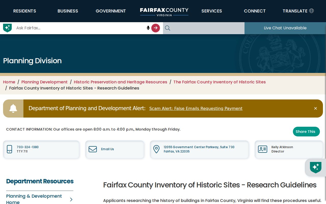
Its grantee-to-grantor method reinforces why legal descriptions, plats, adjoining owners, and recorded references should travel with each step in a Bailey's Crossroads house history.
For a defined existing Fairfax County record connected to Bailey's Crossroads that is not posted, a Virginia Freedom of Information Act request must be reasonably specific. The custodian generally responds within five work days, with a possible seven-work-day extension after notice. VFOIA does not require an office to create a new parcel-to-person history or answer a broad request for everyone at an address.
Note: Keep a source log with collection, volume, page or roll, date, and any missing-series note for every Bailey's Crossroads prior-household conclusion.