
Bailey's Crossroads Neighbor Sources by Block
Bailey's Crossroads public sources can map the block around an address, but they do not create a complete neighbor roster. Fairfax GIS and MAR establish Bailey's Crossroads address and parcel context. iCare supplies Bailey's Crossroads assessment information for one PIN at a time. The Fairfax Circuit Court Clerk holds Bailey's Crossroads recorded land instruments. The Virginia elections portal is a certified self-service tool, while voter-list products have eligibility and purpose controls. Civic organizations can offer community context, but their names are not a public list of people at every address.
| Source | What it shows about a block | Access |
|---|---|---|
| MAR and Fairfax GIS | Recognized addresses, jurisdiction, PINs, parcel layers, and map context | Free viewer, GIS contacts, and map tools |
| Jade and iCare | Individual parcel reports, owner display when shown, mailing address, assessments, and land-use context | Free county property tools; inspect each PIN separately |
| Circuit land records | Recorded parties, legal descriptions, deed references, and conveyance dates | CPAN, public research terminals, copy request, HRC, or LVA |
| Virginia election records | Authorized registration or precinct information with separate access rules | Certified self lookup, lawful list procedure, or Elections custodian |
| Virginia Room and civic sources | Dated directories, maps, yearbooks, organization names, and neighborhood context | Library, archive, public association list, or named civic contact |
Read each Bailey's Crossroads result as a citation, not a profile. The useful unit is the source office, source date, record type, parcel or address key, and narrow fact visible. Owner, tax mailing recipient, deed party, registered voter, historical directory entry, and occupant are different labels.
Read Bailey's Crossroads Parcels One by One
Start each Bailey's Crossroads parcel check with an exact number, street, unit, and suffix. MAR can provide the Bailey's Crossroads address identity, current status, ZIP, jurisdiction, and parcel PIN. Use Jade or the map layers to see the surrounding parcel configuration. Then open iCare for every nearby Bailey's Crossroads PIN separately. The iCare report can show an owner display and mailing address, tax year, assessment, land use, zoning, subdivision, planning area, structure information, and deed references. It is current assessment context, not proof of a current household.
Fairfax cautions that GIS parcel boundaries in Bailey's Crossroads vary in accuracy and that recorded easements are official only in land records. A tax mailing address can be outside Bailey's Crossroads. The inspected county sample is a commercial parcel with an LLC owner and a mailing address in McLean, a clear reason to keep property ownership, mailing information, and occupancy separate. A commercial parcel may also describe a structure or business rather than a person.
Note: Keep every PIN with its own source date and record role, because nearby parcels can have different owners, mailing recipients, and histories.
Map a Bailey's Crossroads Block Outward
Use a short, outward flow for a Bailey's Crossroads block from one verified address rather than trying to infer everyone around it. This method follows the county's address, parcel, and land-record boundaries. It also keeps Bailey's Crossroads historical records in their proper place, as dated evidence rather than a present-tense claim.
- Enter the address in MAR and retain the recognized site address, unit, jurisdiction, ZIP, and parcel PIN.
- Open the PIN in Jade, set the parcel and boundary layers, and identify adjoining PINs.
- Open each adjoining PIN in iCare to record the displayed assessment and property-role fields separately.
- When a deed question remains, use the legal description, grantor, grantee, book and page, or instrument data with the Circuit Court Clerk.
- For a dated street clue, consult the Virginia Room, Historic Records Center, or Library of Virginia and cite the year and volume.
Address to MAR, MAR to PIN, PIN to adjacent parcels, parcel to iCare, then legal description to the deed chain is the key flow. For a longer, street-wide record trail, use the Bailey's Crossroads street directory after the immediate block is clear.
Bailey's Crossroads Neighbors and Civic Geography
Bailey's Crossroads has no incorporated municipal clerk, recorder, or police department. Fairfax County is the local government, and Mason District supplies an important civic geography. The district includes Bailey's Crossroads, Culmore, Lincolnia, Seven Corners, and nearby areas. A street or mailing label may cross or sit near several public boundaries, so confirm the parcel jurisdiction before choosing a county or independent-city custodian.
Precinct 501 BAILEYS extends from the Columbia Pike and Seminary Road setting toward Holmes Run and the City of Alexandria boundary. The precinct was established in 1981 and has later revisions, including changes in 2003, 2021, 2022, and a 2024 polling-location name revision. Its current boundary must be checked on the Fairfax precinct map. A precinct is civic geography, not evidence that a particular person currently occupies an address.
The Mason District office is the official civic contact for this part of Fairfax County. The captured office page below supports a block-level inquiry about district services or community geography, not a personal record search.
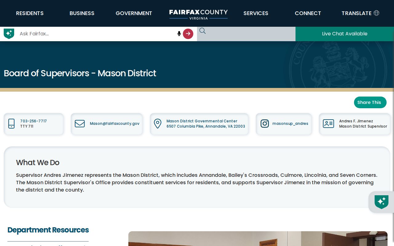
Use the office to confirm the geographic route, then use the appropriate custodian for a defined public record or service question.
Bailey's Crossroads Civic Association Contacts
Community organizations can explain the civic layer around a block, but their membership or contact information is not a substitute for county records. Fairfax Federation has operated since 1940 and supports civic, condominium, and community associations through open meetings. Fairfax County's association list identifies Bailey's Crossroads Revitalization Corp, Bailey Place HOA, Baileys HOA, and other area associations. Association names can be a useful subdivision or block clue when paired with a parcel or map.
| Civic contact | Local connection | Route |
|---|---|---|
| Mason District office | Fairfax County civic and geographic contact for Bailey's Crossroads and surrounding communities | 6507 Columbia Pike, Annandale; 703-256-7717; mason@fairfaxcounty.gov |
| C3, Crossroads & Corners Coalition | Formerly Bailey's Crossroads Seven Corners Revitalization Corp; local community coalition | Revitalization partners |
| Fairfax Federation | Countywide civic-association umbrella with open-meeting support | Federation information |
| County association list | Names Bailey's Crossroads Revitalization Corp, Bailey Place HOA, and Baileys HOA among area associations | Fairfax County association list |
Ask a named organization about its public meeting or neighborhood-purpose information. VFOIA can seek defined county records, but it does not reach private association files or require a civic group to create a roster.
Bailey's Crossroads Neighbors in Context
Block research benefits from a clear geography note. The Bailey's Crossroads Census-designated place had 24,749 people in 2020 on about 2.05 square miles. That statistical area is not the same as the Bailey's Crossroads-Seven Corners revitalization corridor, which covers about 431 acres around Route 7 and Route 244. Neither boundary produces a name list, and neither should replace a parcel, ZIP, precinct, or county-jurisdiction check.
The Bailey's Crossroads and Seven Corners revitalization page is a useful source for the planning context and local coalition activity. The captured page below should be read as an area-planning source, not as a statement about the people connected to an individual parcel.
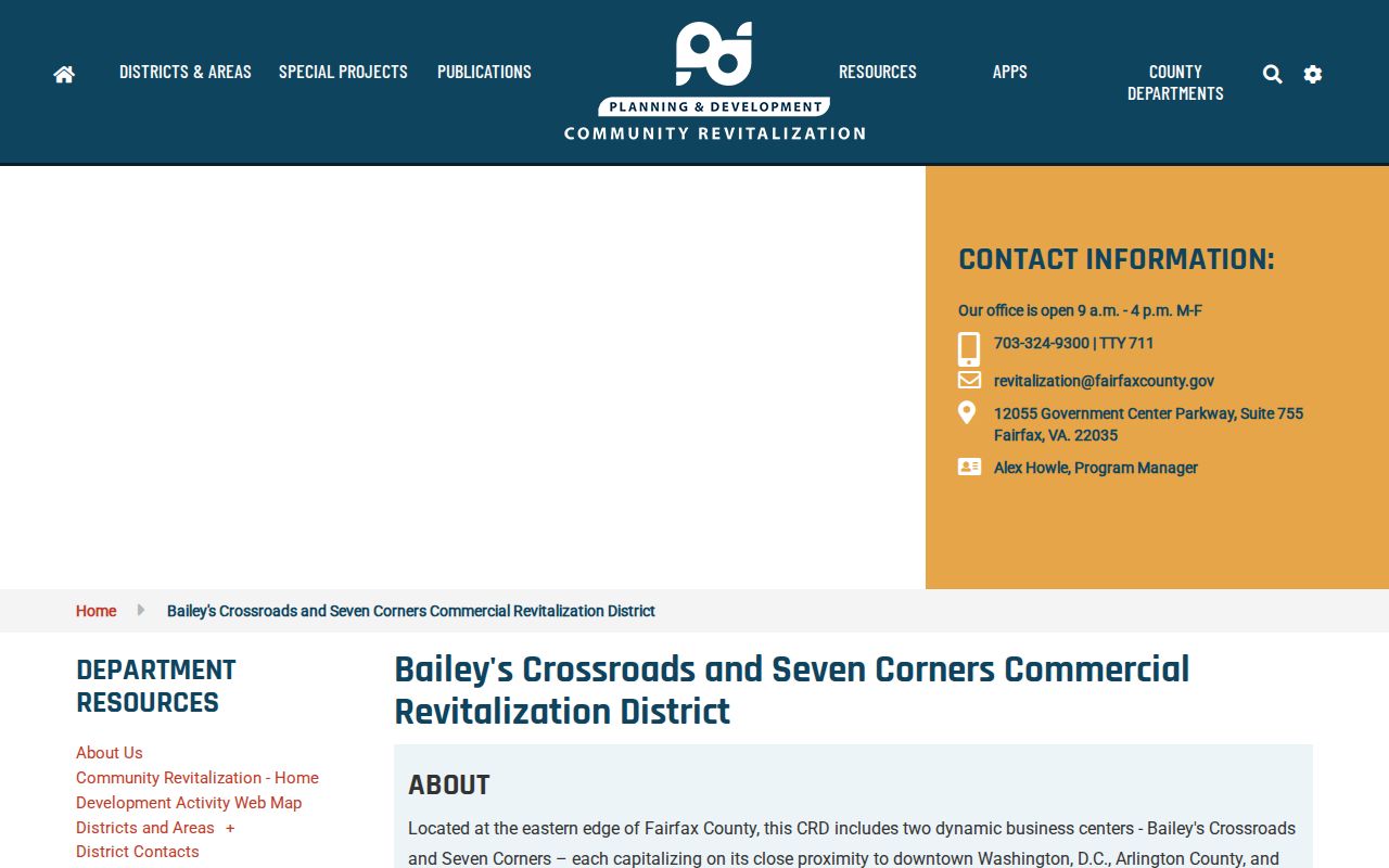
Route 7, Route 244, Culmore, Seven Corners, Skyline, and Mason District can all appear in records around Bailey's Crossroads. Preserve the original place wording in a source note while verifying the actual parcel and jurisdiction.
Note: A Census area, planning corridor, ZIP, postal city, precinct, and supervisor district are separate descriptions of place, not interchangeable boundaries.
Official and Commercial Neighbor Categories
For Bailey's Crossroads, official county and state records are limited by record type, access rule, and date, but they provide a route back to the custodian. Commercial neighbor-search categories may combine public and purchased data into a convenient display. That convenience does not make the information authoritative. A removal request to a private service does not change a county deed, assessment report, voter record, court file, or archive. Verify a narrow fact with the source that created it.
| Official records | Commercial neighbor-search categories |
|---|---|
| Use MAR, iCare, the clerk, Elections, archives, and named civic contacts for the role each source actually documents. | May blend records from different dates and sources, so a displayed name or address needs custodian verification. |
| Provide a clear office, record type, and defined access route, with limits and redactions set by law or policy. | Do not replace a county parcel, recorded instrument, certified voter process, or historical collection citation. |
When a source conflicts, retain both citations and the dates. The newer or more official source may still describe a different role, so resolving the conflict can require a parcel PIN, legal description, or a direct custodian inquiry.
Privacy Rules for Bailey's Crossroads Neighbors
Parcel maps and assessments do not disclose every person associated with a block. The county's records can separate an owner of record, tax mailing recipient, deed party, voter, historical directory entry, and occupant. Virginia's voter self lookup requires certification, and authorized voter-list products are governed by stated purpose rules. Do not reproduce full dates of birth, SSN fragments, voter IDs, protected addresses, juvenile details, sealed information, or victim information.
Virginia's Address Confidentiality Program provides a substitute-address process for eligible people. Do not try to reconstruct a confidential physical address. If a public display appears to expose a protected address, contact the relevant custodian or ACP rather than republishing it. For a defined county record that is not posted, a reasonably specific VFOIA request goes to the office that holds the record; it cannot create a new neighbor directory.
Lawful use. Use Bailey's Crossroads neighbor records only for lawful personal, civic, genealogical, or property research. Never use them to stalk, harass, intimidate, or harm another person, and keep protected-address questions with the proper custodian.